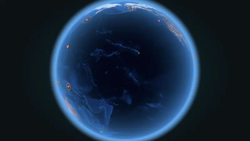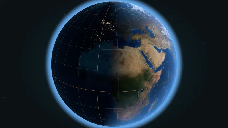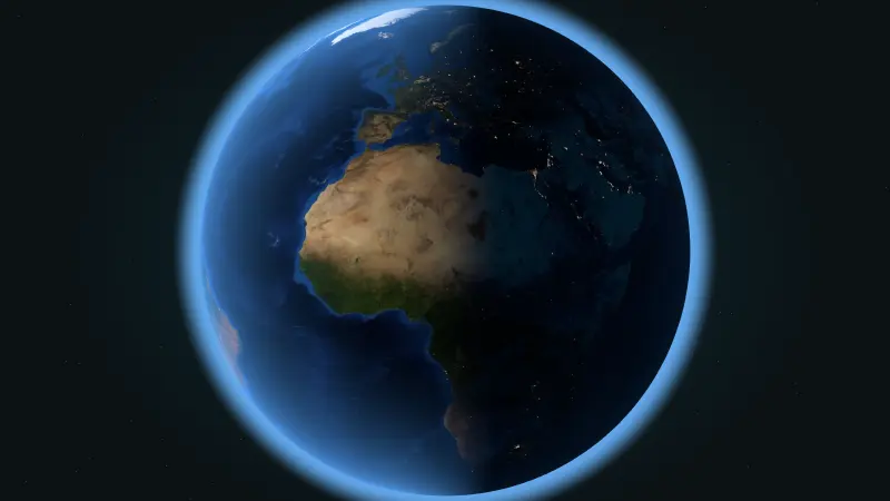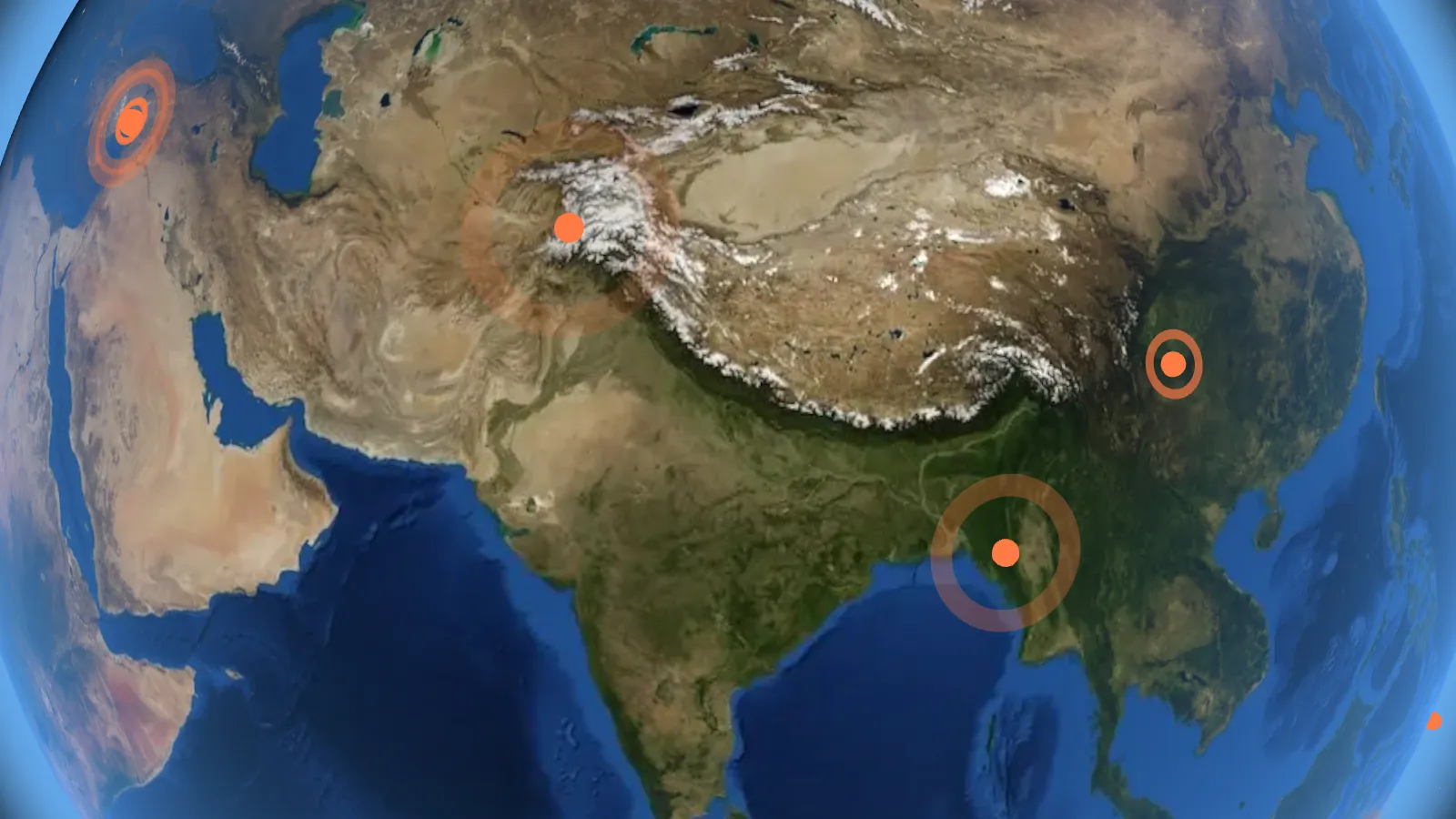
Earth looks solid and still, but its outer shell is broken into enormous slabs of rock that drift, collide and grind past each other. Scientists call these slabs tectonic plates, and the idea that explains how they move is called plate tectonics. It is the reason we have earthquakes, volcanoes, mountain ranges and deep ocean trenches.
What is a tectonic plate?
Imagine a cracked eggshell around a soft-boiled egg. Earth's outer layer, called the lithosphere, is a bit like that shell. It is made of the crust plus the stiff top part of the mantle, and it averages roughly 100 kilometers thick. Thinner under the oceans, thicker under the continents.
Underneath sits the asthenosphere, a layer of hot rock that is solid but can flow very slowly, like extremely thick toffee. The plates ride on top of it. Heat escaping from Earth's interior, the pull of sinking plate edges and the push from new crust forming at ocean ridges all keep the plates moving.
How many plates are there?
Geologists usually count seven or eight major plates, plus dozens of smaller ones:
- Pacific Plate, the largest, almost entirely under the ocean
- North American Plate and South American Plate
- Eurasian Plate, carrying most of Europe and Asia
- African Plate
- Antarctic Plate
- Indo-Australian Plate, often split into the Indian and Australian plates
Smaller plates include the Nazca, Cocos, Caribbean, Arabian, Philippine Sea and Juan de Fuca plates. Some of the most powerful earthquakes on Earth happen along the edges of these smaller plates.
How fast do plates move?
Plates move a few centimeters a year, roughly the speed your fingernails grow. The Atlantic Ocean widens by about 2 to 3 centimeters every year. Parts of the Pacific seafloor move more than 10 centimeters a year.
That sounds tiny, but time makes it huge. About 200 million years ago, the continents were joined in a single supercontinent called Pangaea. Slow, steady drifting pulled it apart into the map we know today.
The three types of plate boundaries
The action happens where plates meet. There are three kinds of meeting points, and each one shapes the land differently.
1. Divergent boundaries: plates pull apart
Where plates separate, hot rock rises to fill the gap and forms new crust. Most divergent boundaries are underwater ridges, like the Mid-Atlantic Ridge running down the middle of the Atlantic Ocean. Iceland sits right on top of it, which is why it has so many volcanoes and hot springs. At Thingvellir National Park you can walk through a rift valley between the North American and Eurasian plates.
2. Convergent boundaries: plates push together
When an ocean plate meets a continental plate, the heavier ocean plate sinks underneath in a process called subduction. The Nazca Plate sliding under South America has built the Andes and lines the coast with volcanoes. When two continents collide, neither sinks easily, so the crust crumples upward. India crashing into Asia built the Himalayas, and Mount Everest is still being pushed higher by a few millimeters a year.
3. Transform boundaries: plates slide past
Sometimes plates grind sideways past each other. California's San Andreas Fault is the famous example, where the Pacific Plate slides northwest past the North American Plate. No crust is made or destroyed, but the edges snag, and that causes earthquakes.
Why moving plates cause earthquakes
Plate edges are rough. Instead of sliding smoothly, they stick together while the rest of the plate keeps moving. Stress builds up in the rock for years or even centuries, like bending a ruler. When the rock finally breaks or slips, all that stored energy is released at once as seismic waves that shake the ground.
The point underground where the slip starts is the focus (or hypocenter). The spot on the surface directly above it is the epicenter, which is what you see as a dot on an earthquake map.
How big is a magnitude 5 compared with a 6?
Earthquake magnitude uses a scale where each step up is a big jump. One whole number higher means about 10 times more ground shaking on a seismograph and about 32 times more energy released. A magnitude 7 releases roughly 1,000 times more energy than a magnitude 5.
The US Geological Survey locates around 20,000 earthquakes around the world every year, about 55 a day. Most are too small to feel. On average, there are around 15 to 16 major earthquakes of magnitude 7 or higher each year.
Classroom activity: map a week of real earthquakes
This activity turns the live earthquake feed into a plate boundary map that students build themselves. It works for ages 9 to 14 and takes 10 minutes a day for one week.
- Set up. Print a blank world map for each group, or project one on the board.
- Collect. Each day, open the live earthquake list and choose the 10 strongest events. Students find each location using latitude and longitude.
- Plot. Mark each earthquake with a dot. Use a bigger dot for a bigger magnitude.
- Look for patterns. By Friday, ask: where do the dots cluster? Where are there almost none? Most classes discover long curving lines around the Pacific and through southern Europe and Asia.
- Compare. Lay a plate boundary map on top. The dots trace the plate edges almost perfectly.
Students learn more from finding the pattern than from being told it. If coordinates are new to your class, start with our guide to latitude and longitude.
Key words
- Crust
- Earth's thin, rocky outer layer.
- Mantle
- The thick layer of hot rock beneath the crust.
- Lithosphere
- The crust plus the rigid top of the mantle. This is what the plates are made of.
- Fault
- A crack in the crust where rocks have moved.
- Subduction
- One plate sinking beneath another.
- Epicenter
- The point on the surface directly above where an earthquake starts.
Questions students ask
Can scientists predict earthquakes?
Not yet. Scientists can estimate how likely a large earthquake is in a region over the coming decades, but no one can predict the exact day, place and size of a specific earthquake.
Will the continents join together again?
Many geologists think so. Based on how plates move today, some models suggest a new supercontinent could form in around 200 to 300 million years.
Do plates move where I live?
Yes. Every place on Earth sits on a moving plate, even if it is far from a boundary. Your town is moving right now, just very slowly.