
Earthquakes and volcanoes as they happen.
See why the Pacific Ring of Fire earned its name, using today's real events instead of a textbook diagram.
A live 3D Earth for classrooms. Real earthquakes, real orbits, real places, explained in five-minute missions.
Pulled live from the US Geological Survey and a public space station tracker while you read. This is the data students explore.
Switch between live hazards, orbits, climate, terrain and people. Each layer comes with ready-to-teach missions.
See why the Pacific Ring of Fire earned its name, using today's real events instead of a textbook diagram.
Follow the ISS on its real orbit and find out why it circles Earth about every 90 minutes.
Compare deserts, rainforests and monsoons with live temperature and rainfall.
Relief shading turns the Himalayas and the Andes into shapes students remember.
Capitals, languages, flags and stories, each pinned to the place it belongs.
No installs, no student emails, no setup week. Open a browser, share a code, start exploring.
Get early accessChoose a ready-made lesson for ages 8 to 14, from plate tectonics to world capitals, each with a teacher guide.
It runs on any projector, smartboard or Chromebook with a modern browser. Nothing to install.
Students join with a short class code and a nickname. No accounts, no personal data.
A live class map shows every answer as it lands, so you know who needs another look before the bell.
Connect a low-cost classroom sensor kit and your schoolyard's temperature, air quality and rainfall appear on the globe, next to schools on every continent.
Every game is free for kids. Families and teachers pay for progress tracking, classroom tools and extra depth.
For curious kids
No account needed
For parents of curious kids
Just €3.25 a monthCancel anytime
For one teacher and all their classes
Founding teachers: €49 for the first year
For schools and districts
About €2 per student
Prices in euro. Students never pay.
The Field Guide: classroom-ready explainers built around live data, each with an activity. See all guides
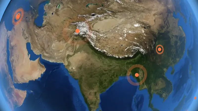 Plate Tectonics for Kids: How Earth's Moving Plates Make Earthquakes
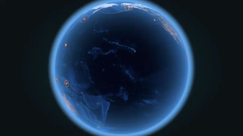 The Pacific Ring of Fire, Explained with Today's Real Earthquakes
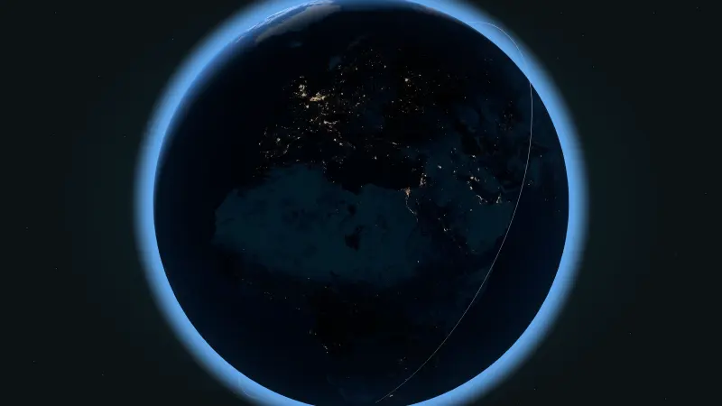 How Fast Does the ISS Travel? Why It Circles Earth Every 90 Minutes
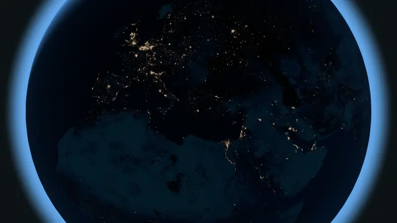
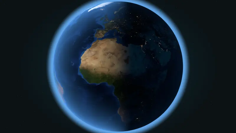 Why Is It Day Here and Night There? The Terminator Line Explained
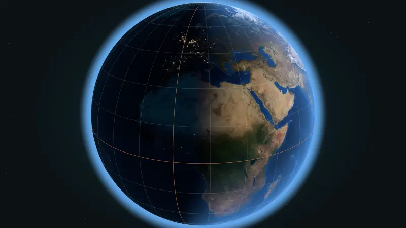 Latitude and Longitude Explained Simply, with a 10-Minute Class Activity
 17 World Capitals Almost Everyone Gets Wrong (and How to Remember Them)
We are opening to early-access schools in stages during the 2026-27 school year. Join the list and we will email you as soon as your spot is ready.
Yes. Earthquakes come from the US Geological Survey feed, the space station position from a public tracking service, and the day and night line on the globe is calculated from the current time.
No. Students join a class with a short code and a nickname. We never ask children for email addresses, and we never show ads.
Missions are written for ages 8 to 14. The deeper data layers also work well in secondary school geography and earth science.
Any modern browser on laptops, Chromebooks, tablets and interactive whiteboards. There is nothing to install.
We work with publishers, museums and education hardware makers. Write to info@easygeography.com and tell us what you have in mind.
Join the early-access list. Founding schools get first-year pricing and a direct line to the team building it.
Prefer email? info@easygeography.com